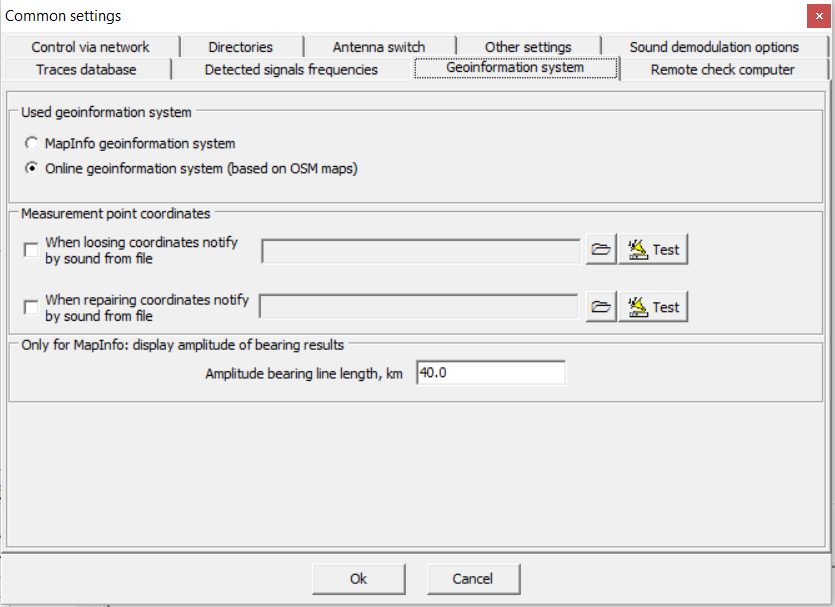
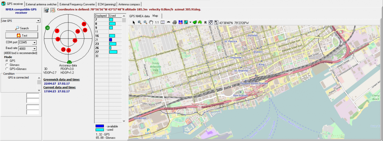
RadioInspector has added a new Geographic Information Support System with Open Street Maps (OSM). Operators can select Open Street Maps from the common settings window, which is free to use and accessible immediately from within the RadioInspector GUI. Once an area has been selected the maps are automatically cached, available for use in the field and do not require an internet connection during live data collection or post-analysis. Operators using MapInfo can still select the MapInfo Geographic Information System for added flexibility depending on individual requirements.
* When using a tablet computer during data collection and direction finding applications, RadioInspector also includes an option to increase the size of the geographic information system feature buttons, for improved visual identification and use.
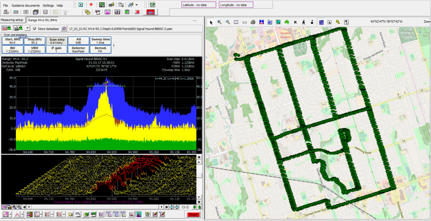
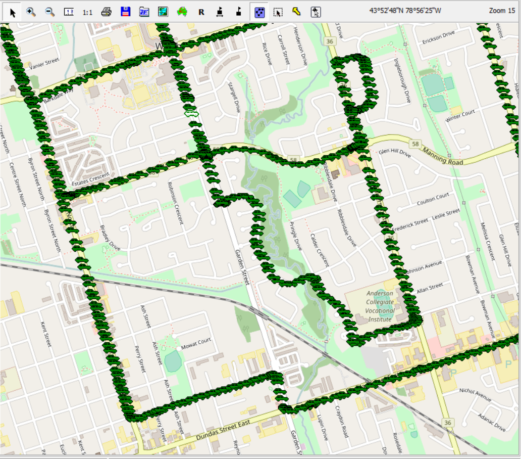
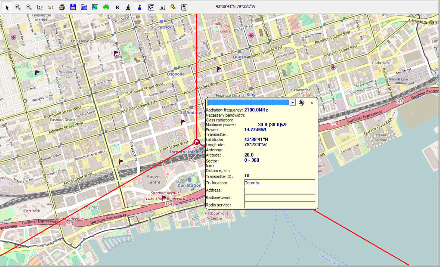
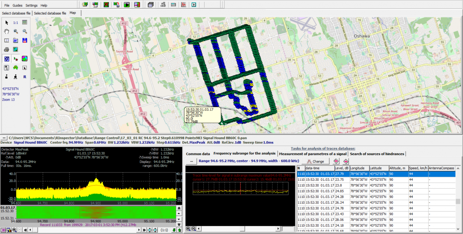
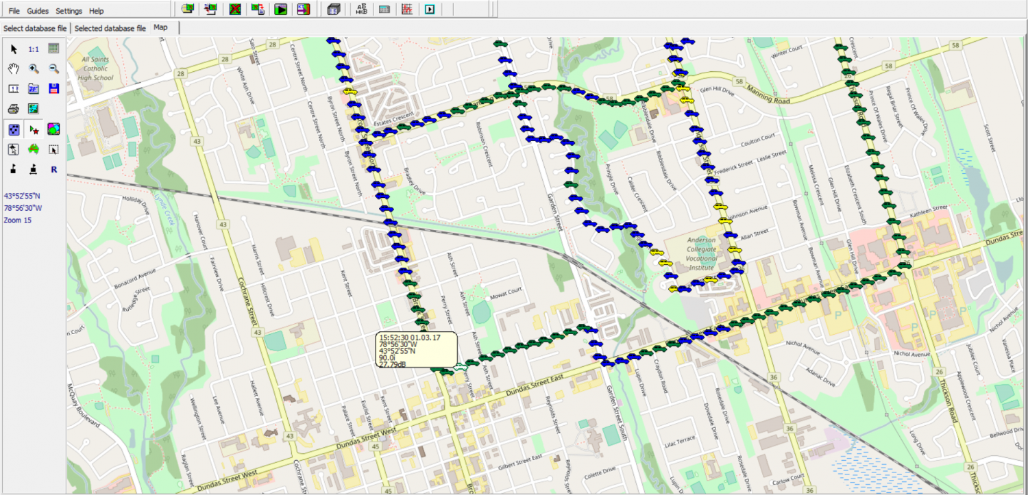
During post-analysis each measurement point can be color-coded based on up to 15 different operators determined thresholds for visual presentation on the map. Operators can also filter the visual display by removing selected threshold levels or merging measurement points within operator selected distances in meters, with results displayed by the median, average, minimum or maximum values.
Data collected can be displayed for each measurement point directly on the map as well as in the common data table and includes date and time, maximum signal level dB, longitude, latitude, altitude (meters), speed (km/h) and compass bearing information.
* RadioInspector provides advanced, comprehensive industry-leading radio frequency spectrum analysis, data recording, storage, post-processing and data management capability for Technical Surveillance Countermeasures (TSCM), SIGINT, local and remote spectrum monitoring, surveillance, telecommunications, and spectrum management applications. RadioInspector delivers powerful cost-effective solutions while offering high performance, stability, and efficiency, customized to specific individual requirements with sophisticated capabilities and functionality not available with other applications. RadioInspector supports the largest and continually expanding list of more than 145 receivers, spectrum analyzers and SDR instruments from leading professional manufacturers worldwide, providing customers with the greatest deployment flexibility and the widest variety of advanced solutions for both current and future requirements.

